DJI Drone Mission Planner

Plan any drone
mission, effortlessly

DronePoint (Drone Point) is a KMZ/KML waypoint flight planner for supported DJI drones. Plan precise waypoint missions, mapping grids, orbit flights, and terrain-follow surveys with full control over altitude, camera angle, focal length, overlap, and ground sampling distance (GSD) — using the DJI drone you already own.

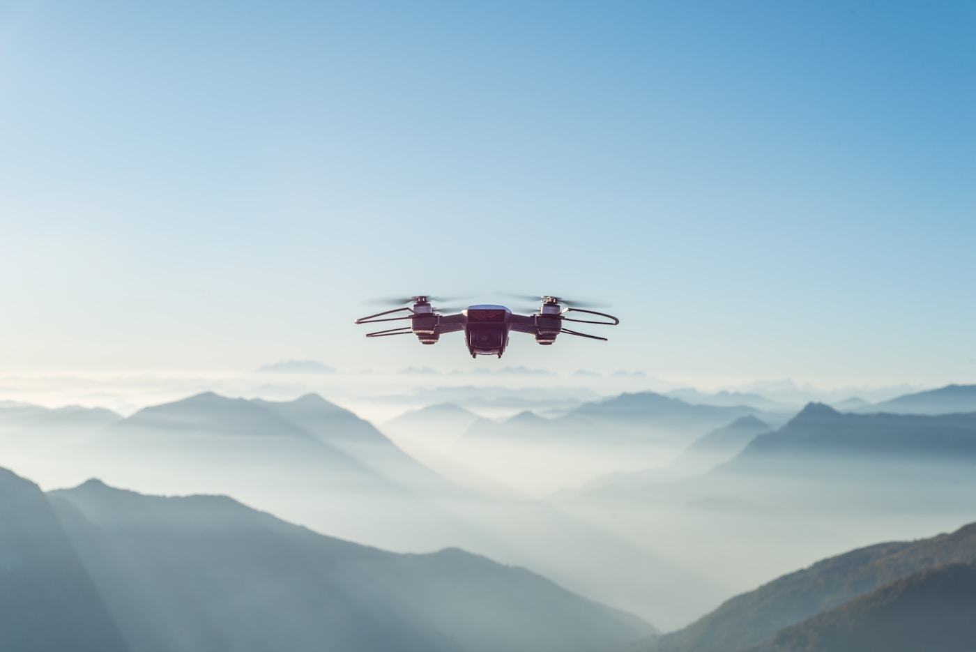
Drone flying over misty mountain landscape
6
Supported drones
3
Elevation sources
KMZ
DJI Fly format
Mission size

Plan enterprise-grade missions without an enterprise drone

Consumer and prosumer DJI drones are significantly cheaper and more accessible — usually a few hundred to a few thousand dollars. Enterprise DJI drones cost far more, but a lot of that premium pays for RTK modules, thermal sensors, payload support, enterprise controllers, proprietary software, and service packages — not smarter mission planning.

DronePoint brings that same mission-planning precision — GSD control, coverage, overlap, terrain-following, waypoint camera actions — to any DJI drone that supports KMZ waypoint missions. Plan mapping, inspection, agriculture, and terrain-follow flights with the same level of control usually found in enterprise drone workflows: plan the mission an enterprise system would fly, using the DJI drone you already have.

No RTK module or thermal payload required — just precise planning, on the DJI drone you already have.

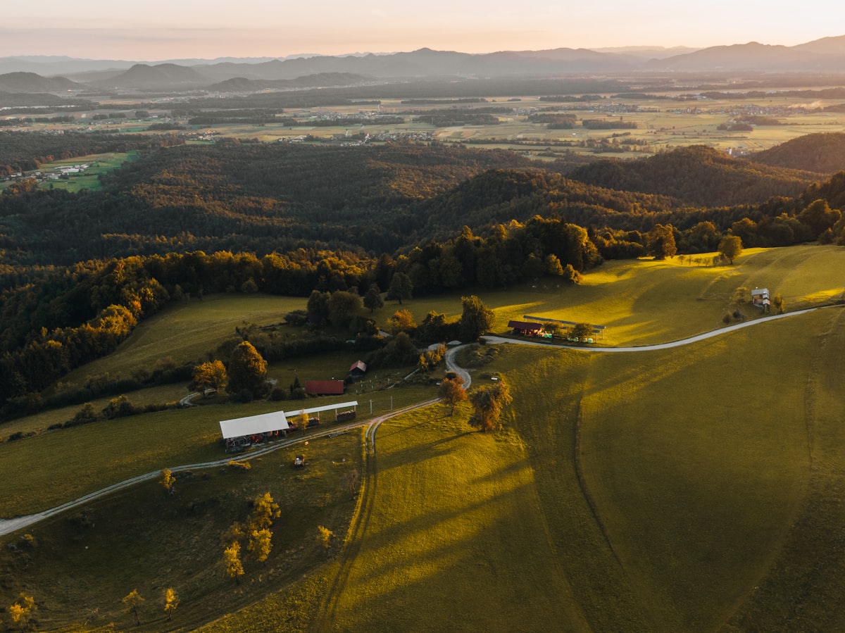
Aerial view of rolling hills and farmland — terrain DronePoint follows

Stay at the right height over any terrain

Flat-terrain missions are easy. Hilly fields are not — without terrain follow, the drone flies at a fixed height above takeoff and can be dangerously close to rising ground or too far from valleys.

DronePoint queries real elevation data for every waypoint and adjusts its height so you maintain a consistent altitude above the actual ground surface.

  • Copernicus GLO-30 — 30 m worldwide, default source
  • Terrarium tiles — fast global 30 m data
  • Open-Meteo 90m for cross-checking
  • Takeoff reference point for accurate relative heights
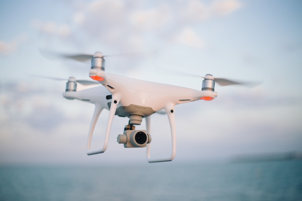
DJI drone in flight — ready for a planned mission

Draw, configure, export — done in under a minute

Trace your field boundary on satellite imagery, dial in your mission parameters, and export a DJI WPML-compatible KMZ file. No desktop software, no account required to start.

  • Satellite imagery with terrain and street overlays
  • Lawnmower pattern with configurable pass spacing
  • N/S, E/W, diagonal and custom flight directions
  • Auto-split into ≤50 waypoint files for DJI RC
  • Waypoint actions: photo, video, gimbal, hover, yaw

What you can plan

Waypoint

Draw any polyline — each click places a waypoint. Attach custom actions at each point: photo, gimbal, hover, yaw, video.

  • Inspection
  • Cinematic
  • Custom paths

Survey grid

Draw a polygon, set line spacing and photo spacing manually. Full control over the lawnmower pattern — the professional's choice when you know your required GSD.

  • Precision survey
  • Manual control
  • Any camera

Mapping

Select your drone, set front & side overlap %. Photo spacing and line spacing are calculated automatically from your camera's sensor specs and flight altitude.

  • Orthomosaics
  • Crop monitoring
  • 3D reconstruction

Orbit Pro

Circle a point of interest at fixed radius and altitude. Set laps, photo count, and direction. Perfect for structure 3D models and cinematic reveals.

  • POI capture
  • 3D modelling
  • Cinematic

Corridor Pro

Draw a path and survey a fixed-width swath on both sides. Auto-generates a boustrophedon grid along the corridor at your required photo spacing.

  • Roads & pipelines
  • Rivers & coastlines
  • Linear assets

All features

Everything in one tool

Satellite map

High-res Esri imagery with terrain and street overlays.

Terrain follow

Per-waypoint elevation from 4 independent data sources.

KMZ export

Direct download, no account needed. Opens straight in DJI Fly.

Flight direction

N/S, E/W, diagonal presets or any custom angle.

Takeoff reference

Set your exact launch point for accurate relative altitude.

Waypoint actions

Photo, video, gimbal rotation, hover, and yaw per waypoint.

Auto-split files

Large missions split into multiple files for fast RC loading.

Location search

Jump to any field or site by name instantly.

Works with your DJI drone

DJI Mini 4 Pro DJI Mini 5 Pro Air 3 / 3S Mavic 3 / Pro / Classic Mavic 4 Pro Lito X1
View all drones, remotes & transfer guide →

Who it's for

Built for DJI drone mapping, inspection, and more

DronePoint helps drone pilots, survey teams, agronomists, construction and site teams, and creators plan repeatable DJI waypoint missions without needing expensive enterprise drone hardware.

One planner for mapping, inspection, agriculture, and construction missions — plan your next flight in minutes.

Questions

DJI KMZ mission planning FAQ

Can DJI Fly import KMZ waypoint missions?

DJI Fly can load compatible KMZ waypoint mission files on supported DJI drones and controllers. DronePoint exports DJI WPML-style KMZ files for waypoint, survey, mapping, orbit, and corridor missions.

How do I create a DJI waypoint mission?

Open the planner, click points on the map, set altitude and speed, preview the route, then export the KMZ file. For mapping and survey work, draw a polygon and DronePoint builds the flight lines.

Does DronePoint support terrain follow?

Yes. Terrain follow adjusts waypoint altitude using elevation data so the drone can keep a more consistent height above ground on hills, fields, and uneven mapping sites.

Which DJI drones work with DronePoint KMZ files?

DronePoint is built for common DJI Fly workflows including Mini, Air, and Mavic models that support waypoint KMZ missions. Check the compatible drones page for current model and controller notes.

Can I get enterprise-level results from a consumer DJI drone?

Yes. Enterprise DJI drones cost far more mainly for RTK modules, thermal sensors, payload support, and enterprise controllers — not smarter mission planning. DronePoint gives any DJI drone that supports KMZ waypoint missions the same planning precision: GSD calculated up front, overlap-driven spacing for gap-free coverage, exact focal-length control per waypoint, and terrain follow to keep height above ground consistent across the whole mission.

What industries use DronePoint?

DronePoint plans DJI waypoint missions used by drone mapping and land surveying teams, construction site progress-photo flights, agriculture field surveys, roof and infrastructure inspection flights, and real estate or cinematic orbit shoots — anywhere a repeatable, precise DJI waypoint mission is needed. DronePoint plans the flight; photogrammetry, volumetric, or thermal analysis is done in separate mapping/inspection software using the images it captures.

Simple, transparent pricing

Free
$0
forever
  • Draw & plan missions
  • KMZ export
  • Location search
  • Terrain follow
  • Waypoint actions
  • Saved missions
Start free